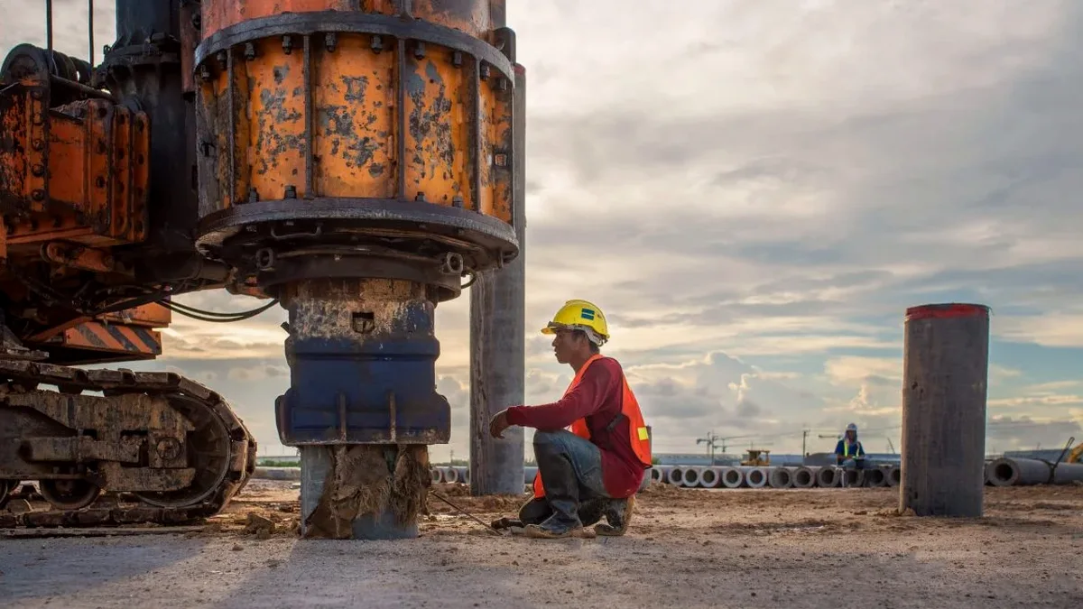
Brantford's subsurface is a tale of two formations. The dense, stony Halton Till underlying the northwest industrial parks behaves very differently from the loose, saturated sands tracing the Grand River flats downtown. A standard borehole log will tell you what's there. It won't tell you how the ground will shake. That's the gap our MASW survey fills. We measure shear wave velocity directly at the surface to calculate VS30, the number that dictates your seismic site class under NBCC 2020. For the Brantford-Brant corridor, where water tables sit high in the sand plain, Class D and E profiles are common. Getting the class wrong means overbuilding shear walls or under-designing lateral systems. A two-hour MASW line along a proposed footprint in Eagle Place gives us the Vs profile without touching a drill rig, saving mobilization cost when paired later with targeted SPT drilling for bearing capacity.
VS30 isn't an intrinsic soil property. It's a site parameter that averages thirty meters of geology into one number the building code can use.
Methodology and scope
Local considerations
NBCC 2020 Table 4.1.8.4.A assigns Site Class E to profiles with Vs30 below 180 m/s. In Brantford, that's the Grand River floodplain and pockets of the Norfolk sand plain where Holocene alluvium hasn't consolidated. The code amplifies short-period spectral acceleration for Class E by a factor of 1.7 or more relative to the reference Class C. A developer who relies on the default Class C assumption from the Ontario Building Code's prescriptive path is designing to about 60% of the actual seismic demand. That's not a paperwork problem. It's a lateral capacity deficit that manifests at the connections between diaphragms and shear walls. Our MASW survey costs less than a single corehole and delivers a defensible site class in three hours of field time. For critical infrastructure in Zone 2 seismicity, the difference between Class D and Class E drives foundation type selection and insurance premiums. We've seen VS30 vary from 195 m/s to 175 m/s across a single property line in West Brant, right at the boundary between till and outwash.
Applicable standards
NBCC 2020 (National Building Code of Canada) – Clause 4.1.8.4 Site Classification for Seismic Design, ASTM D4428/D4428M-14 – Standard Test Methods for Crosshole Seismic Testing (surface wave adaptation), NEHRP (BSSC) 2020 – Recommended Seismic Provisions for New Buildings, ASCE/SEI 7-22 – Minimum Design Loads for Buildings and Other Structures, Chapter 20
Associated technical services
Seismic Refraction Tomography
P-wave refraction profiles map the top of bedrock and detect buried valleys in the glacial stratigraphy. P-wave velocity alone doesn't give you site class, but it resolves layering that the MASW inversion can use as a starting model.
Downhole Seismic Testing in Boreholes
When a drill rig is already on site for SPT sampling, a downhole survey in the same borehole provides a direct Vs measurement at discrete depths. We compare the downhole profile with the surface-wave VS30 to cross-validate both methods.
Site-Specific Seismic Hazard Analysis
For tall buildings and post-disaster structures, NBCC permits a site-specific analysis instead of the tabular site coefficients. We use the measured Vs profile as input to equivalent-linear ground response software to generate design spectra and acceleration time histories.
Typical parameters
Frequently asked questions
How much does an MASW survey cost for a typical residential lot in Brantford?
For a standard single-family lot requiring one or two MASW lines to determine VS30, the cost ranges from CA$2,540 to CA$4,620. The final figure depends on array length, number of measurement lines, and surface access conditions. We provide a fixed-price quote after reviewing the site plan and the structural engineer's requirements.
Can you run MASW on paved surfaces like a parking lot?
Yes. We couple the geophones to asphalt or concrete using steel base plates and a gypsum paste or viscous couplant. The high-frequency surface wave energy attenuates faster in pavement, so we may extend the array length to compensate. The inversion still resolves the underlying soil profile, though we flag the stiff pavement layer in the interpretation as it doesn't represent natural ground.
What's the difference between VS30 from MASW and site class from SPT blow counts?
SPT-based site classification uses empirical correlations between blow count and shear wave velocity. These correlations have significant scatter, especially in fine-grained soils and glacial tills common in Brantford. MASW measures Vs directly from surface wave propagation. The NBCC accepts both methods, but direct measurement removes the uncertainty of the correlation. When the two methods disagree, we recommend a downhole seismic check in a borehole to resolve the discrepancy.